The Bear Pond loop is a popular hike for those staying at Putnam Pond State Campground, and makes for a great walk through the woods, with intermittent views of a few different bodies of water.
How to get there
Follow Route 74 from Schroon Lake toward Ticonderoga. Continue to Putts Pond Road on the left. Follow Putts Pond Road to the end at the Putnam Pond State Campground. There is a day-use fee, and parking is in the day-use area near the beach.
By the numbers
- Distance: 5.7 mile loop
- Elevation gain: 800 feet
Hiking
From the day-use area, locate the trail on the right of the parking lot. Follow this through the woods to the campsite road and to the left. Continue on the road for around a half mile to the trailhead on the left. There is no parking at this trailhead.
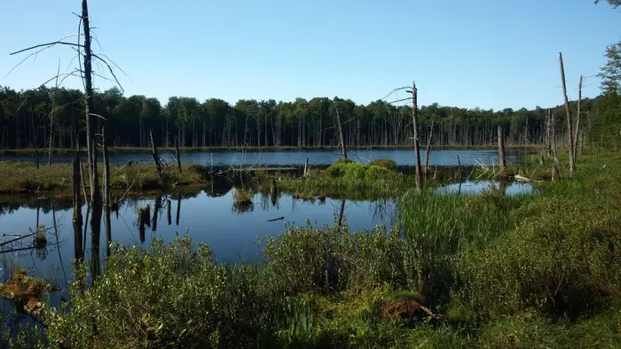
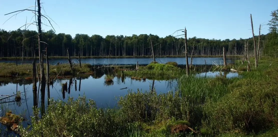
The trail continues easily through an attractive forest and passes by Heart Pond on your left through the trees. Stay right at this intersection and start a moderate to easy climb to the height-of-land before descending to the shore of Bear Pond. The trail sweeps around the south end of the pond and onto the western shore with outstanding views.
The trail eventually climbs again up and over the shoulder of Bear Pond Mountain on your right before descending quickly to the shore of Rock Pond. At this intersection take a left and head back toward Heart Pond. En route you will pass by North Pond which is essentially part of Putnam Pond, separated by a narrow strip of water. There is a decent climb away from North Pond before you reach Heart Pond again and the trail you came in on. Retrace your steps back along the campground roads and to the day-use parking area.