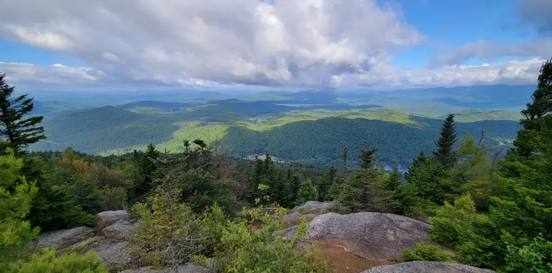
A long hike to the base of the mountain, a short climb, then 360 degrees of stunning views from the summit of the vast Pharaoh Lake Wilderness area.
How to get there
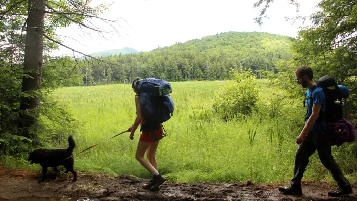
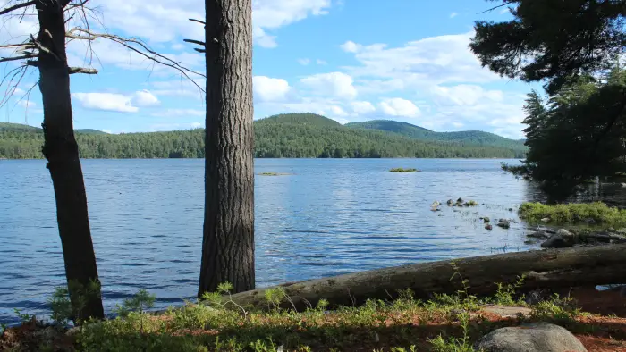
There are more access points for this mountain. Here is one: Take exit 28 off of I-87 and continue south on Route 9 to Alder Meadow Road. Turn left on Alder Meadow Rd. for 2.2 miles, then left on Crane Pond Rd. The road beyond is quite rough but still drivable with high clearance vehicles but not recommended. Park here and walk the easy road to a flooded area with a trail bypass to the left that leads to Crane Pond, 2.0 miles from the parking area.
By the numbers
- Distance: 4.9 miles, one way from the parking area before the rough road starts
- Mountain elevation: 2,556 feet
Hiking
Cross the bridge over the outlet and continue on the flat for 0.7 miles to a junction. Turn right and soon start a gradual climb that steepens at 1.9 miles from Crane Pond and reaches the rocky summit at 2.9 miles.
Snowshoeing and cross-country skiing
Skiing Crane Pond road would be enjoyable, but we recommend switching to snowshoe for the mountain ascent.